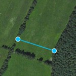
distance

Distance

Measure the distance between two points on the map.

path

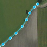
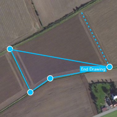
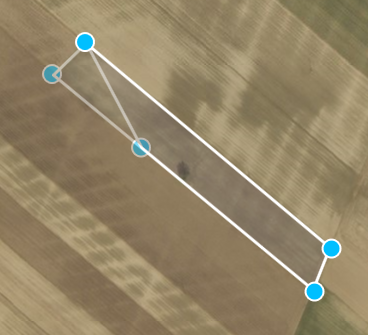
Measure the length of a path

By using several points on a line you can measure the length of a path or road.

area

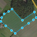
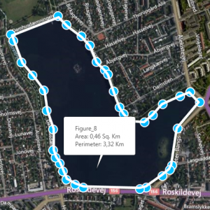
Measure the area and circumference

You can measure the area and circumference of an area on the ground - for example a roof, field, lawn or lake.

areameasurement

What can I measure?

Measure distances and areas in Map Measurement

Map Measurement uses lines and shapes to check one or several distances and estimate sizes of different features on Earth. With Map Measurement, you can measure the length on the ground with a line or path, you can also measure areas using polygons. You can measure several different measurements on one map.

Create a measurement

  1. Open Map Measurement.
  2. Navigate to a spot on the globe by zooming, or enter an address in the search field of your interest.
  3. Select the drawing method which you want to use(the latest used is already selected).
    • Line:the distance between two points on the map
    • Path:the distance between multiple points on the ground
    • Polygon:the distance or area of a geometric shape on the ground
  4. On the map, click a starting point for your measurement.
  5. Depending on figure type click until you have drawn the figure that you want to measure.
  6. End the drawing by right or double clicking or by selecting the end drawing label. Except for the line drawing which ends by the second point.
  7. You’ll see a line or shape on the globe that shows what you’re measuring.

create_map_measurement

editmeasurement

Edit a measurement

  • Move the measurement by holding down the cursor at the center of the measurement and dragging it into place.
  • Edit your measurement by holding down the cursor on a measurement point and drag it into place.
  • You can delete figures by right clicking and selecting Delete Figure.
  • You can adjust color and line thickness on your measurements by selecting Settings in the top right-hand corner.